


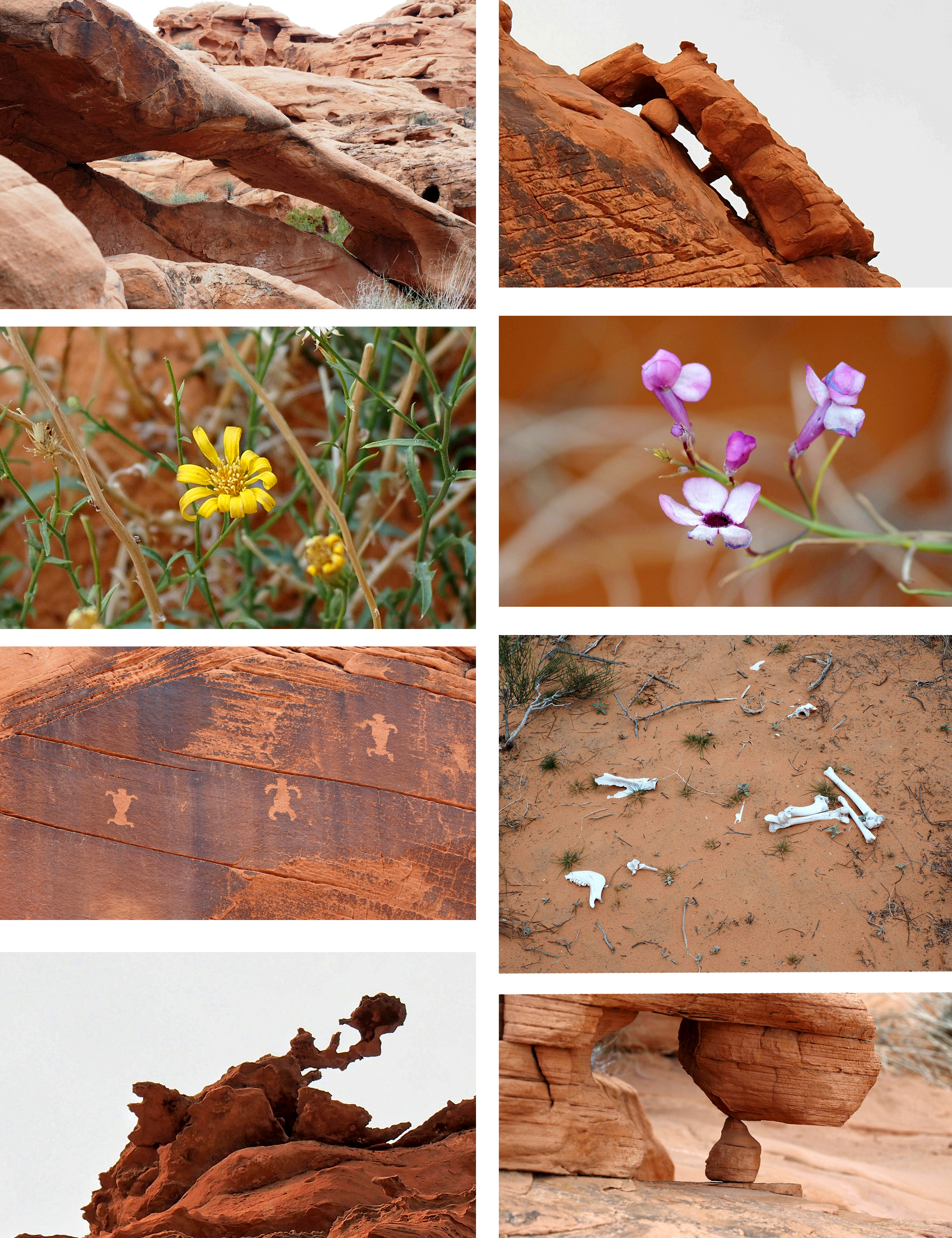

This is a new loop that goes thru the escarpment and circles back through another gap in the rocks.It is about 4.5 miles and 800 ft gain. It goes near Brians Big Wall but is named because of the many big walls there. It starts at the gated road that leads to Duck Rock. After walking about halfway up that road we turned west at this point and headed toward the slight gap in the ridge straight west. Upper right quarter on the screen. After passing over that ridge you are in a narrow wash that has this low arch. Behind the arch is a ridge of smooth rock that you climb over and bear left to reach the 3 man (or 3 turtle) petroglyph.


When looking at the petroglyph there is a small wash to your right. About 100 feet down this wash, and before you have to climb over a rock fall, high up on the right is a finned formation. From there, head west generally following the easiest path toward any gaps you may see in the rocks. This is the first narrow gap you will come to. Just through it bear right and get onto the high ground so you can see further west toward a sandy area with possible tire tracks from off road vehicles. Go up the sandy hill toward the big wall where you can find a gap to pass through. At the top of this sandy climb, and to the right of the big rock face, is a gap leading to the other side. After dealing with a few dry falls, the terrain levels out. When I reached the final wash (Magnesite Wash) it goes north to Duck Rock. I instead continued east over land to where the car was parked.
Stats: 4.5 miles; 800' gain


No comments:
Post a Comment