Sunday, May 29, 2022

Foxtail Spring & Pioneer Rock - 5/28/22

Ice Fall at Foxtail Spring

Foxtail Spring Ice Fall & Grotto

Pioneer Rock (L) & Foxtail Ridge (R) in front of North Loop Ridge & Lee Peak

At the Campfire Amphitheater
Four hikers put their feet on the floor and started out from the Pay Phone Trailhead. We passed the Foxtail Picnic Area gate and climbed a trail on the hill to Foxtail Ridge. At the top of the hill, there is an old forest road that runs along the lower part of the ridge up to a large water tank. Alongside the water tank, there is a campfire amphitheater built with logs. Following that, there is a log-lined path and steps down to Hudlow Hall; the abandoned mess hall for the girl scouts that used to have summer camps here until just before the pandemic hit. Camp Foxtail is quite a large spread of cabins, get-together places, bath houses, and utility buildings. All of them are locked up and seem to be maintained and watched over.

Other Scenes at Camp Foxtail

View back down Aspen-lined Road

First Steep Climb

Wash Crossing
We turned right just past Hudlow Hall to follow the main gravel road that passes through the camp and up the canyon. Continuing straight, the road becomes steeper. It crosses a wash that is filled with debris left and right. Then, the road becomes even steeper. There is a less steep option to the right but we are in the process of finding a good path and recording it. The steep road climbs and climbs up to a grotto, or rock wall in the wash with a spring coming out of its crevices. Last year, we visited this calming place in May, also. Both years, there has been a huge thick ice fall coming out of the wall. You can still see and hear the water dribbling out of the center part of the overhang. Bring your tripod if you wish to get good photos at the ice fall and spring cave. I did my best without one. We sat for a rest in the sun since it is very cool there at the ice fall.

Really Steep Climb

Charlie at the Ice Fall

Dripping Foxtail Spring

View down Foxtail Spring Drainage
The view down the drainage is beautiful but takes second place to the spring. You can see McFarland Peak and South Sister in the distance. After we posed for our group photo, we headed down. Instead of tackling the steep gravel slope, we ducked over to the easier trail to explore. During the next couple of visits, I will record the best way to use this easier trail. Right now, you are on your own! We emerged onto the approach road right where the road crosses the messy wash. (Many avalanches must have victimized this area in the past.) Continuing down the road through the aspens, we turned right at the Pioneer Camp sign that lies on the ground next to a large tree. Climbing up through the camp, we found the Pioneer Rock Trail and finished our climb at the saddle found just behind the huge rock outcrop. (On the way through the camp, we noticed yet another trail that we must explore someday! We think it might go past the base of Pioneer Rock. ... 😎

Taking our break in the Sun

Four on the Floor

That familiar tree on Pioneer Rock Loop

Pinnacle Point View
The loop trail circles around Pioneer Rock at the base of the west side of Mummy Mountain. After dealing with a few fallen trees (one was new this year), we passed Pinnacle Point and started down a beautiful white rock-filled ridge. (It does not appear that the forest service is going to maintain this trail and remove the fallen trees. Perhaps someone will someday have the energy to bring some saws up there!) The trail ends up back at Hudlow Hall. From there, we climbed back up to the forest road on Foxtail Ridge and returned to the cars. Foxtail Picnic Area was gearing up for the holiday weekend ... reservations only. And, Lee Canyon was all abuzz! Great morning out!

Stats: 5.3 miles; 1530' gain; 3.5 hours (exploring included)

Pioneer Rock (L)

South Sister and Pioneer Rock Loop Trail

Trail down from Foxtail Ridge forest Road


Tuesday, May 24, 2022

Lower Deer Creek Canyon & Springs - 5/23/22

Deer Creek Canyon (L) nearing Springs Area
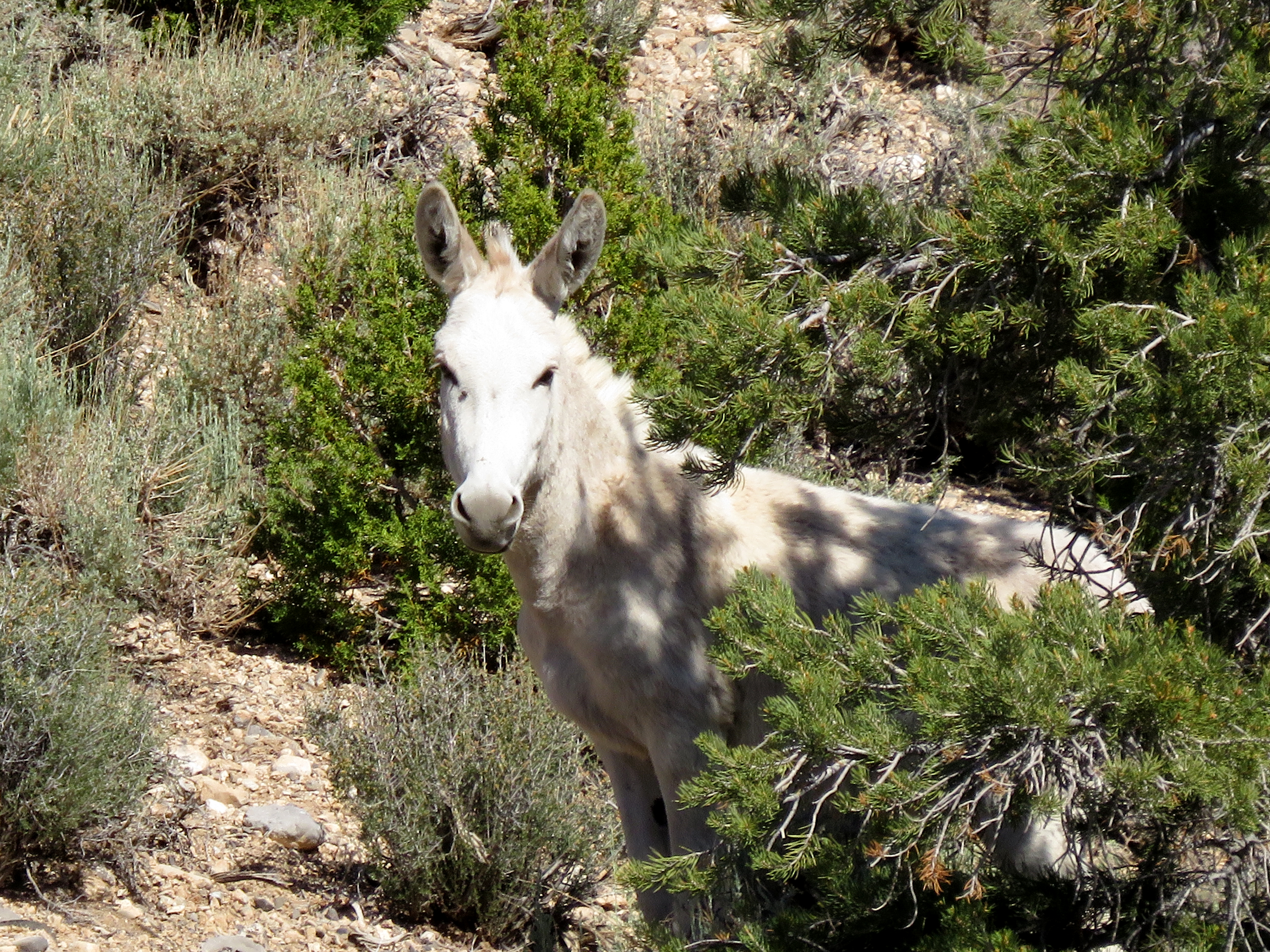
Lone Burro

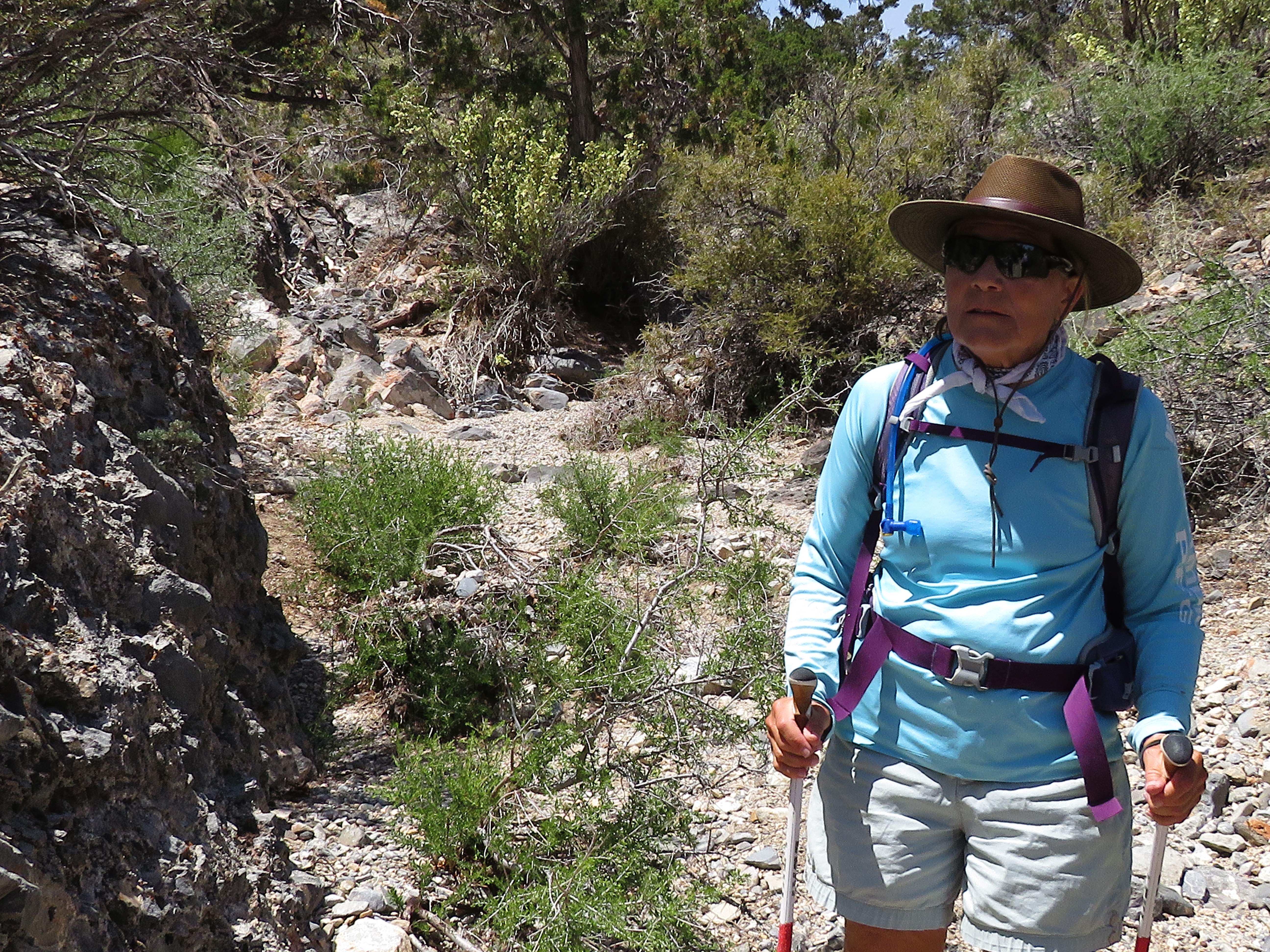
Narrow Ridge above Deer Creek Canyon

The Parking Valet Burro
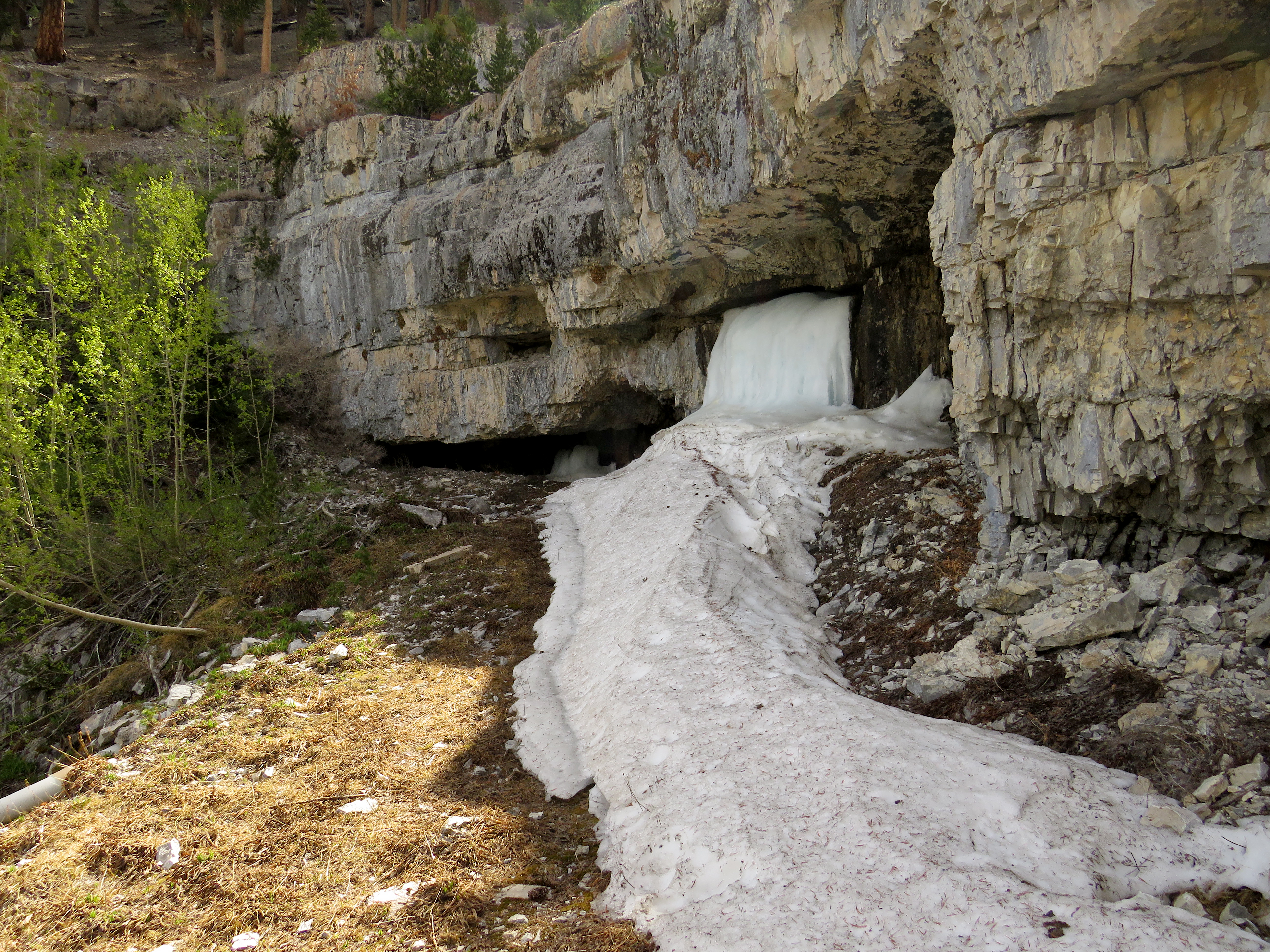
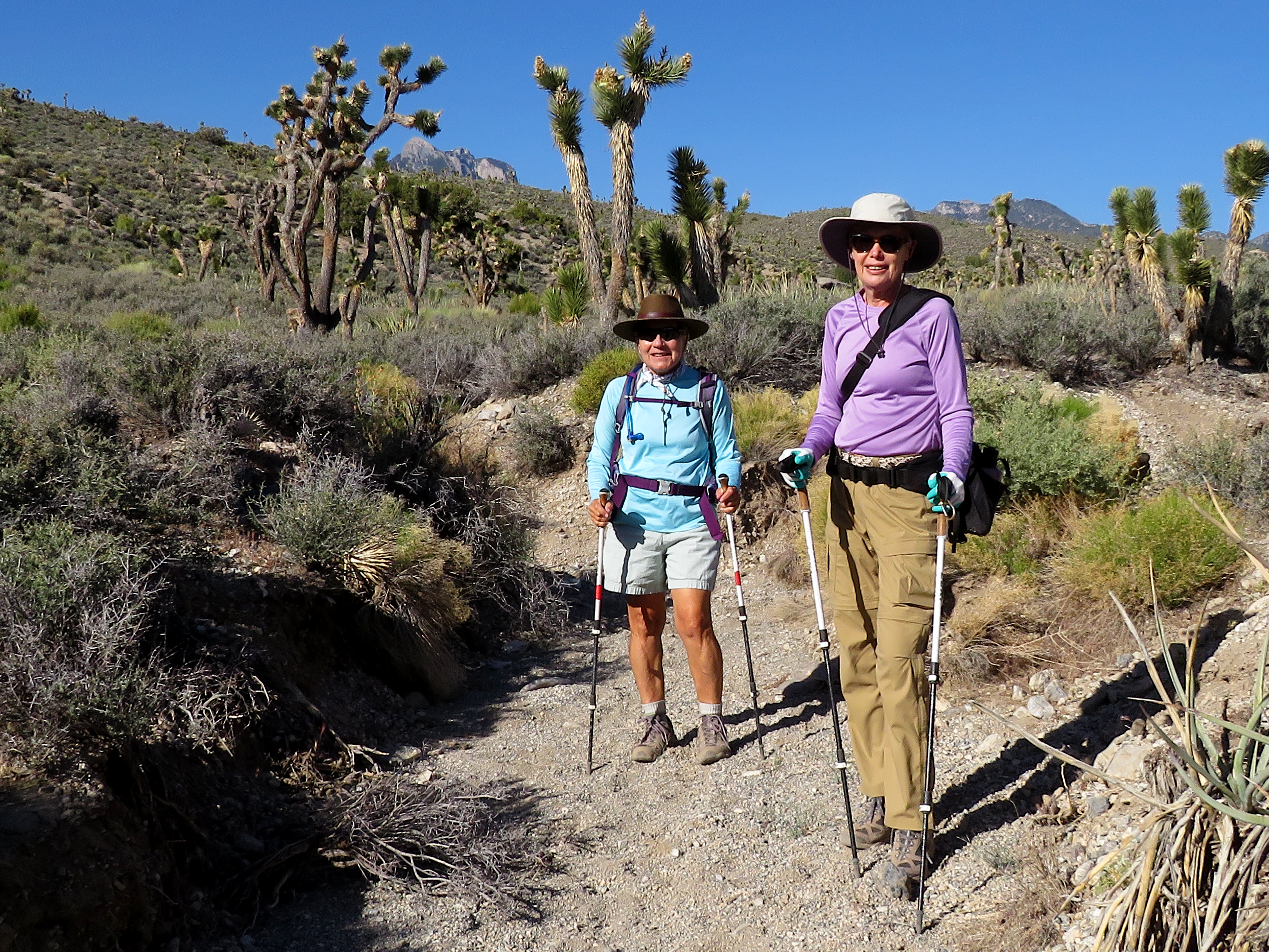
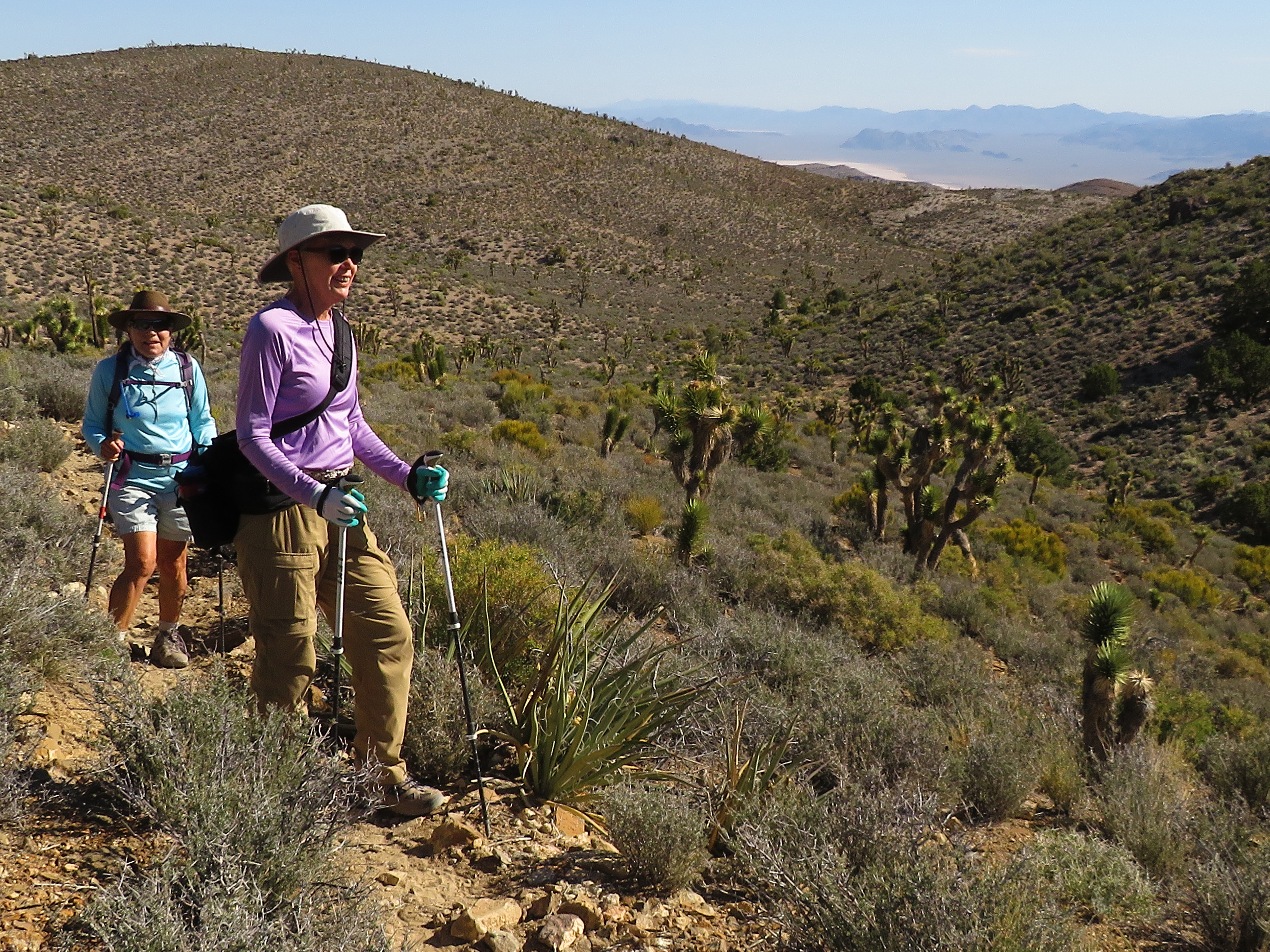
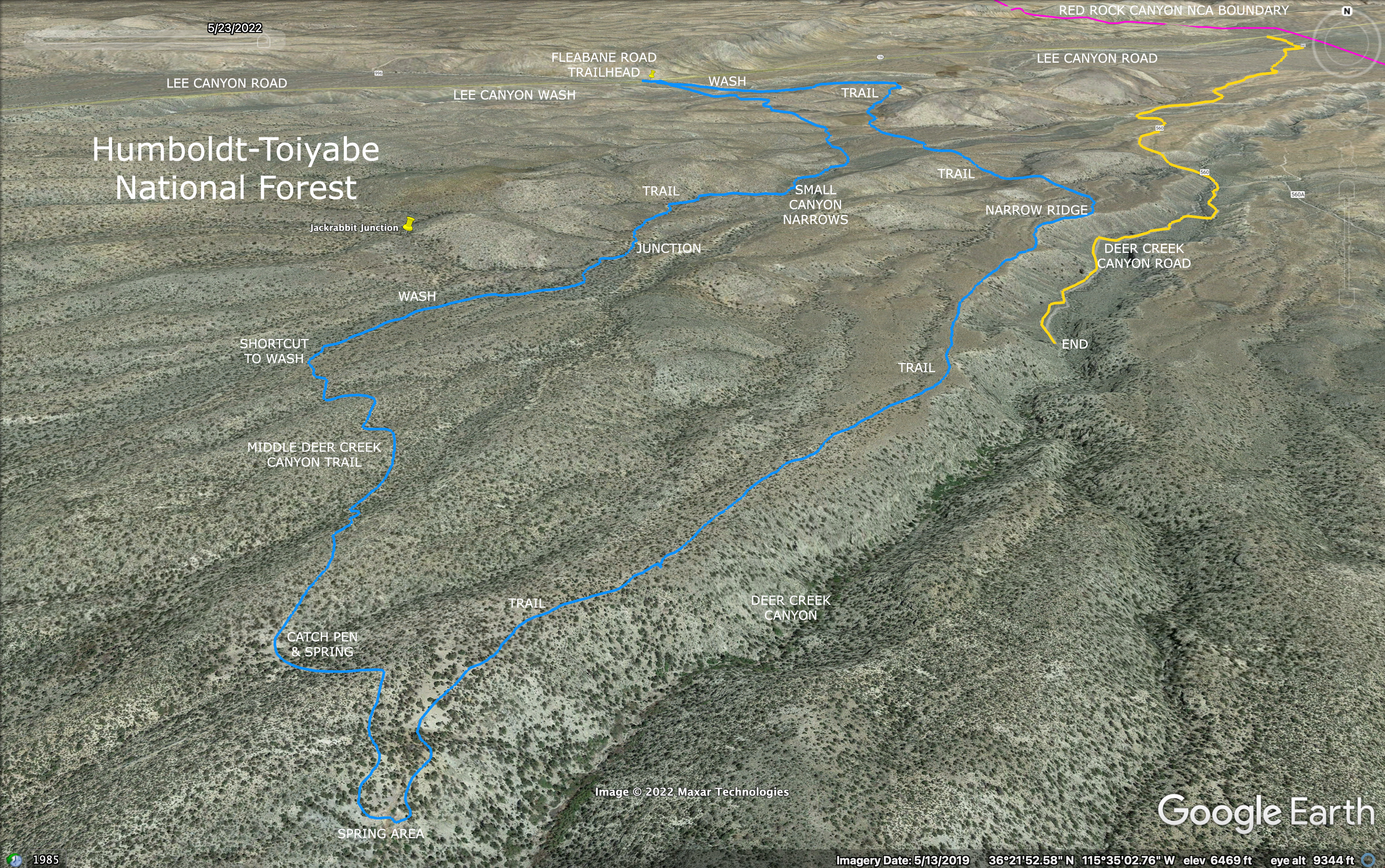
Ralyn, Rita and I arrived at the Fleabane Road Trailhead on Lee Canyon Road just below the 6000' elevation mark on a cool day looking for burros. This is a hike that Rita and I explored a year and a half ago when we were learning about the burro trails in the area. We had mapped out a short loop of 4.5 miles and were pleased with the fact that we saw several burros on our hike. On this hike, however, we added a couple of variations that included the Deer Creek Canyon springs, the Catch Pen and a narrow ridge above the lower part of the canyon for a 7.5 mile loop. We expected burros but we did not expect so many plus a few more very pleasant surprises. If you plan to do a hike in this area, please come prepared with research. There are many burro trails.

Ralyn & Blooming Desert Sage in Lee Canyon Wash

 Prickly Poppy, Desert Sage, King Claret Cup, and Beaver Tail Bloom

Prickly Poppies in Lee Canyon Wash

Just started and we've seen 4 burros!
That said, almost all the trails will end up at the springs or Lee Canyon Road ... somewhere. The springs are one of the wildlife's main sources of water during dry times of the year. This means that visiting the springs is a touchy thing. Please don't disturb the animals any more than you have to. And, a large group of hikers all at once is not recommended. As a group of only three hikers, we enjoyed the "Spring Mountain Zoo" immensely. We went so slow in the first mile because of all the encounters and photos, I thought, "This is going to be a really long day!" In the end, it took us 5 hours to do what should have been a 4 hour hike. We didn't mind. There was so much to see and observe.

Rock Wall next to Lee Canyon Wash

Guys! Guys! That's an elk!!!

Four Elk crossing Lee Canyon Road behind Us (Note the Tongue!)

Mummy's Head from Wash
We crossed Lee Canyon Road and dropped down into the wash after saying goodbye to the burro that was holding our parking place for us. Immediately, we noticed a single burro that ran to the first one, and another couple of burros that we unintentionally followed down the wash. At that point, we turned around to look behind us and saw a large elk emerging up onto Lee Canyon Road. Three more followed and we just stood there and watched until they disappeared perhaps up Fleabane Road. What a treat! So, we continued following the two wash burros and trying to get photos down the wash until we came to our burro trail leading up the hill past a rock wall area. The burros gave a sigh of relief and continued down the wash!

Prince's Plume and Palmer's Penstemon

We were unintentionally following these two burros in the wash. Find the second burro!

View from Stone Overlook

Following the Burro Trail
The trail climbed the embankment until we saw the stone overlook just to the left. We took the overlook but didn't see anymore burros where we had seen a couple in the previous hike. From here, the trail continues down and up to the next ridge. Here, we saw our next burro way out in the desert. See second photo of the entry. I struggled to zoom in and find the beautiful animal in my LCD screen and finally got the photo below. The burro watched us cross in front of him at a big distance downhill. We climbed up and over another two ridges with a wide arroyo in between. Finally, we came to one of the route variations that I had found on Google Earth. This route took us down the next ridge veering to the left and back around to climb Deer Creek Canyon ridge below a narrow ridge trail.

Burro in the Desert

Points of Interest

A look back at Lee Canyon Road from Burro Trail

Lower Deer Creek Canyon
There are several burro trails that you can follow along the ridge above the canyon. Most can be seen from one to the next. We stopped to take a break where there is a very good trail that drops down into the canyon on a gradual course ending near the end of the dirt road below. (That might be included in our next exploration here!) After our break, we continued climbing up along the canyon where finally, we began entering the pinion pine and junipers. During this time, we saw a large white burro and her two white burro twins on the ridge running parallel on the right. Gorgeous animals. When we began entering the trees and tall brush, we heard heavy trotting coming from the hill above.

End of Road in Deer Creek Canyon

A Beautiful white Burro watches from behind a Tree

The White Burro's small Twins

Ridge approach to Springs Area
Two dark colored burros and two gray burros went by trotting on a trail to the next ridge. Did we spook them? We were too in awe to get any photos in the short amount of time we could see them clearly. On up the ridge, we followed burro trails that dropped down over the rim just a bit. We knew we were nearing the springs. The first mud hole was just mud but we came to the major spring dripping out of the canyon wall and saw that two burros were slaking their thirst. We tried our best to not disturb them and possibly get a photo but, no could do. Off, they went, up the hill. These two were definitely spooked and we felt bad. Even though our effort had good intentions, we still disturbed nature.

Small Muddy Spring

Major Spring 

Three Lady Hikers

Following a Wash Down from Shortcut Trail
I took a quick photo of the empty spring area and made a hasty retreat. A short climb over the ridge brought us to the catch pen & spring that we had seen only two days before on another hike. We followed the trail on across the desert using part of the Orange Trail Loop, Middle Deer Creek Canyon Trail, until we reached that shortcut trail to the right. This trail quickly took us down to a wash crossing where we turned right again. Yes, the burros use this route, too. We followed the burro prints down the wash until there was a very clear trail that turned up to the left. It wasn't in my plan but, by then, I had a trust growing for the decisions of the burros. So, we followed the trail and came to the same place Rita and I had come to a year and a half ago.

The Small Wash with Burro Prints

Near Jackrabbit Junction

Rita hikes through the Small Canyon Narrows

Approaching a small canyon Tributary
We entered the small canyon narrows and knew exactly where we were! Down through the small canyon, we observed a beautiful leopard lizard perfectly camouflaged in the wash. There are several trails leading out of the wash to the left. We took one of the last ones and basically followed it all the way back across to Lee Canyon Road. Be careful here because, again, there are many trails to turn onto. We passed many burro "bathtubs" in the sand. And, we saw the four running burros descending a ridge in the far distance. Yes, they were still running! Perhaps they never knew we were there. A fabulously cool day in the desert!

Stats: 7.5 miles; 1200' gain; 5 hours 

Long-nose Leopard Lizard

Crossing a Trail Junction on Return

Lee Canyon Wash - Fleabane Road Trailhead in Distance