|
| The Calico Hills Angel Carving |
 |
| Calico Hills & La Madre Range |
 |
| Calico Hills Wash |
 |
| Lower Grand Circle Trail |
No one seems to know the real story behind the carving of St. Christopher (?) on the big block of sandstone in the Angel Pass canyon. We can surmise that it was engraved there to look over and protect ... who ... rock climbers and hikers? .... Anyway, it is very well done and we have no qualms about it being there. There, being, in a narrow section of the scramble worthy canyon where it is difficult to miss. (Even though we were concerned that we would miss it today!) This was our first time at trying to access the carving from the bottom since it is usually viewed on the way down from Angel Pass. Ten hikers, friends, showed up for the adventure.
 |
| A Pause with a View |
We parked on the bottom tier of the Red Rock Visitor Center parking lot. The morning was a little cool but we warmed up very quickly.
 |
| Southern end of Calico Hills |
We started down the Grand Circle Trail toward the fee booth, crossed the road and found the trail in its usual place.
 |
| New Stuff at Calico I |
 |
| Following Grand Circle Trail to Calico II |
Red Rock has gone through some wonderful changes this last year. The scenic loop has been repaved and there are new parking lots at Calico I, Sandstone Quarry and Pine Creek. Is Ice Box Canyon redone, too? It was nice to have our trail back that leads from the fee booth to Calico I since it had been closed during the long construction. Upon reaching Calico I, we tried out the brand new restrooms, read the new info signs and admired the new cedar fencing that runs along the descent to the sandstone. Together again, we made our descent and turned left staying on the trail that runs closest to the scenic loop above us.
 |
| Sandstone Trail |
The group enjoyed their own pace and paused here and there to regather. Most of us knew our way around here until we reached Calico II.
 |
| Heading into the Wash below Calico II |
So, we dropped down to take the route that runs through the crack in the rocks in the gravel wash. Next, we came to the mouth of the Angel Pass canyon.
 |
| Turning up toward Angel Pass |
 |
| Scrambling near Angel Carving |
A right turn into the canyon started an immediate scramble. It was light scrambling but it was scrambling! We wound our way through the rocks and the sand then started up the canyon. There wasn't a lot of elevation gain between here and the carving but the sinuous route had us going every which way! Yes, everything looks different when you go in the opposite direction than what you are used to. With a couple of veterans in our midst, we managed to find the carving much to the delight of the several newbies on the hike. We sat at the block of rock for our break.
 |
| And ... Action! |
After the break, we scrambled back down to a fun climb up onto snack rock. (Right after we encouraged the lizard to get out of our way!)
 |
| Climbing up to Snack Rock |
There was another scramble back down the other side then we started down the gravel wash and began following large cairns made with fencing and filled with rocks.
 |
| View from Snack Rock |
 |
| Dropping back to Wash Trail |
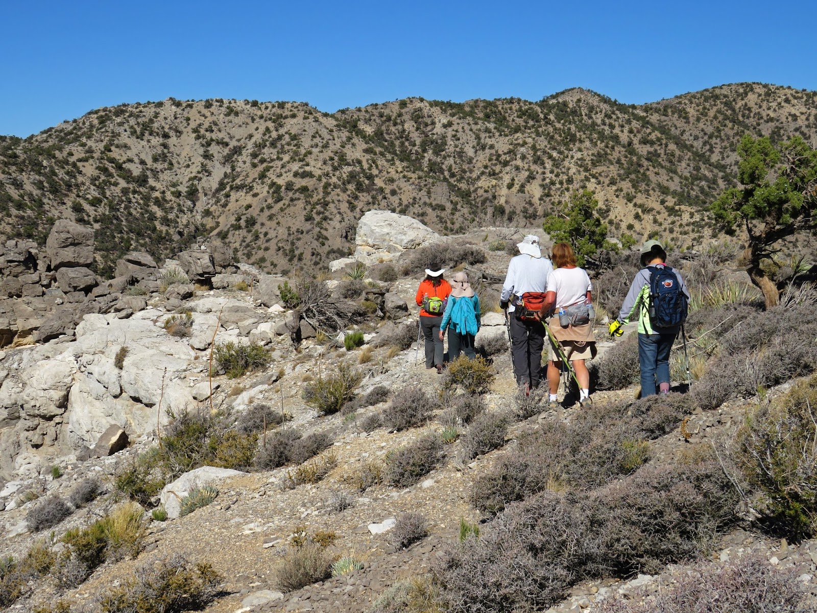
Was it Susan again? Someone has worked on this trail that now seems to have become "official." After we hiked along the sandstone slab and worked up through a small crack, we found ourselves staring at some really nice steps! (See photo below.) We continued up to the ridge and, at the other end, we found the trail down to be much improved. Yes, it is still steep but the rocks have been swept away and the footing is so much safer. Next, we climbed back up to the new Calico I turnout for a short restroom break. Regathered, we crossed the scenic loop and expected to see the old tried and true trail that leads over to the Moenkopi hill. Hmmm. We knew it was here somewhere. ...
 |
| Cairned Wash Trail |
The crosswalk was there but, on the other side of the road, there was a whole bunch of graded dirt from the construction. We couldn't even see where the trail might be further out.
 |
| #VegasStrong |
So, in authentic AtBF fashion, we bushwhacked! Straight toward the Visitor Center. Ten hikers never did see the trail. (But, it did boost my confidence a little when I checked my GPS tracks at home and saw that we did, in fact, cross the road exactly where the trail was supposed to be.)
 |
| New Steps heading up toward Upper Ridge Trail |
 |
| Reaching Upper Ridge |
Surely, the trail will be re-installed. At any rate, we skipped the Moenkopi hill overlook that we had intended to do, found the trail that crossed our bushwhacking path and returned to the cars on the other end of the Grand Circle Trail. If we had done the overlook hill, the hike would have been 6 miles instead of 5 so it was just as well. We all had a fun relaxing time. It's so great to be back in Red Rock!
5 miles; 800 feet elevation gain; 3.5 hours
 |
| Smoothed over Steep Descent |
 |
| Bushwhacking |
 |
| Y for Yucca |