Monday, May 15, 2023

Shady Hollow / Stepladder Loop Extended - 5/15/23

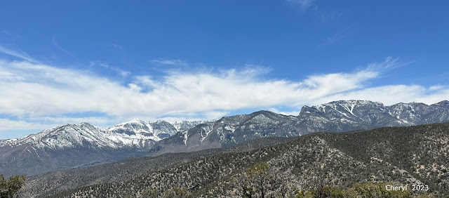
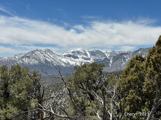
The South Loop Ridge from near Stepladder Trailhead

Heading into Tin Can Alley on Shady Hollow Loop

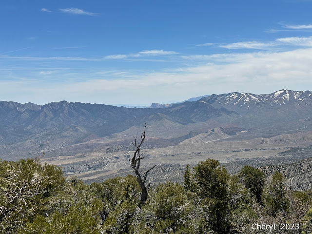
Canyon in Fletcher Ridge

South Loop Ridge from Trailhead
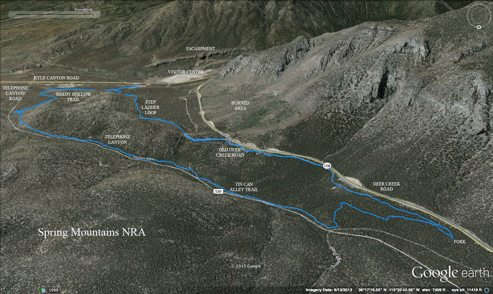
Recovering once again from injuries, I joined Ralyn and Odie for a slow 6 mile hike around the Shady Hollow  Stepladder Loop (Extended). It was so nice to get up into the fresh mountain air! We parked at the Stepladder Trailhead located across the Kyle Canyon Road traffic circle from the visitor center, Spring Mountain Gateway. There, we saw a few of our friends from the Lone Mountain Hiking Club and said "hi." Their hike was in the opposite direction to ours so we headed off up the trail at the end of the parking lot. Turning right at the loop intersection, we proceeded out the Shady Hollow Trail taking left choices at the first three forks. This sent us to join the Tin Can Alley Trail. You can tell you are on the Tin Can Alley by the rusted cans hanging on tree limbs. There are only a few remaining that we saw. We passed the Shady Hollow junction where the trail climbs up to Cowboy Washington Trail and continued up to the Showgirl junction and the Trough Trail junction. Climbing the hill, we finally sat for a break near the Cowboy Washington junction.

Blue Flax dotting the sides of Shady Hollow Trail

Odie surveys the Area

Stepladder Peak (R) from Cowboy Washington Trail

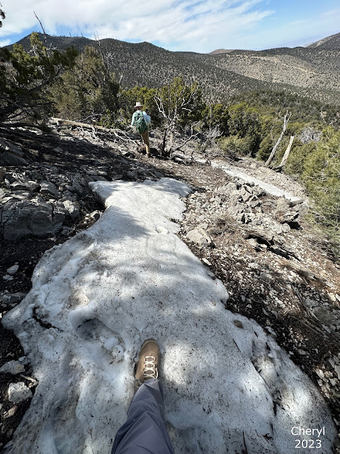
Descending the Stepladder Trail
 A left turn at the sharp fork will put you on this trail and soon, we found ourselves on the old Deer Creek Road asphalt. (There isn't much left.) The Cowboy Washington Trail continues down toward Stepladder Peak but we turned right onto the Stepladder Trail at the multi junction. This trail is a beautiful trail that affords wide views of the South Loop Ridge that flows off of Charleston Peak. The ridge is still covered with snow but the lower elevations where we were hiking had dry ground and perfect weather. Rounding the loop back to the approach trail where we began, we turned right and hiked down to the parking lot. There, we met up with a large group of Around the Bend Friends hikers who had just finished their 4 mile hike around the Kyle Canyon Escarpment. The fresh air was magnificent! And, it was so good to see everyone again!

Stats: 6.2 miles; 1250' gain; 3 hours

Dubious Duo

Panorama from Stepladder Trail of Kyle Canyon Escarpment

Around the Bend Friends at the Trailhead


Thursday, May 4, 2023

Mine Peak - 5/2/23

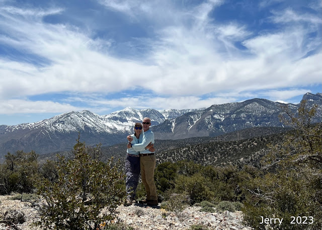
Jerry and Cheryl on Mine Peak (Charleston Peak in Background)

Mine Peak from Approach

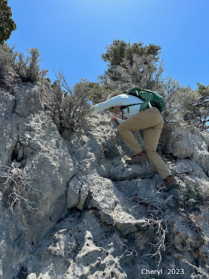
Searching for a way to climb Summit Block on Mine Peak

Road to Trailhead

If you're like me, you've wandered around on Google Earth and, perhaps you've come across the charcoal kilns on the west side of Wheeler Pass. Well, Jerry and Cheryl drove out that way from SR 160 and passed by the historic kilns. Not much to see since the forest service has erected a substantial fence around them. See photos below.

Jerry and Cheryl took "Big Guy" (the XTerra) all the way to the Mine Peak trailhead located ~17 miles from SR 160. The kilns were about 15.5 miles from SR 160 and the trailhead was another mile up from that. Both the kilns and the trailhead are found on Rt. 52 North. 

Mine Peak was a hike up a gentle ridge that got steeper as we went. We came to the summit block (a very interesting rock formation that had numerous craggy pinnacles) and ran into a dilemma of how to get up and through to the summit. We tried to scramble in two different spots. Both were class 4 and had very loose rocks and lots of dirt. We ended up down climbing on some dicey stuff and kept searching. Finally we found a fairly solid class 3 spot and scrambled up to the summit. From the peak we thought there could be a class 2 gully but weren’t sure if it went so we descended the same way we went up. As Jerry was going down the trickier place a rock broke off in his hand. Geez we hate when that happens! Fortunately he had a good other hand and a foot and we made it down. From there it was just a hike back to the vehicle. 

Short Visit to Historic Charcoal Kilns

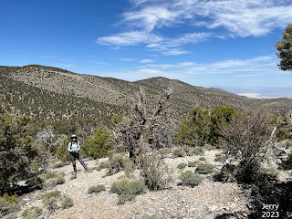
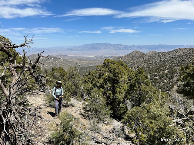
Ascending a Ridge

Bushwhacking along Ridge

Path of Least Resistance!
Coming back from Mine Peak we passed a group camping about 100 yards from our vehicle when a large pit bull charged us! I picked up a rock and yelled “No!” and he stopped in his tracks. The people didn’t seem concerned! No one ran to grab him. They called him back. We started to walk away but he turned back and charged again! We froze again as he crouched and growled. Finally he turned and trotted back where the owners decided to tie him up. Geez that was scarier than down climbing those class 4s with lots of loose rock!     ~ Cheryl (I love dogs. I really do.)

So, I guess that was J&C's wild animal story for the day!

Stats: 4.7 miles; 1300' gain; 4 hours (of hiking)

Summit Block Approach

Panoramic Views from Summit

Starting the Descent a Different Way


Snow King Summit - 4/30/23

Happy Anniversary, Jerry and Cheryl!! 🙌 (Snow King Summit)

From Snow King Summit (Griffith - L, Mummy Mountain - R)

Climbing up to Ascent Ridge

Winding through Brush
Jerry and Cheryl recently celebrated their 5th wedding anniversary on top of a rarely visited peak near Angel Peak, Snow King. It is always fun to see what these two are up to. In words that were so eloquently spoken by Paul E. one time, " We don't need no stinkin' trail!" In Cheryl's words, "We had attempted Snow King in early January but turned back as there was quite a lot of snow and it would’ve been hard in snowshoes with all the debris to get over. This time there were only a few patches of snow and easy to get around." In the end, it was all off trail with beautiful views. The hike began with a snafu trying to get their Rzr going on Lucky Strike Canyon Road just off SR 95 between Kyle Canyon and Lee Canyon Roads.
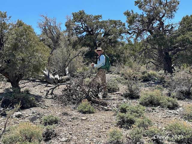
Increasing Brush

Brush Increases nearing the Final Ascent

Snow King Summit in the Distance

Some Scrambling
Cheryl described the adventure to the trailhead. "For Snow King we had Rzr Guy. He was on the trailer with Big Guy and we parked right off 95 on Lucky Strike Canyon Road (Trail on the map).  We wanted to get him off but when Jerry tried to start him his battery was dead! We tried to jump with our lithium battery but nothing! So we took him back to his storage and took Big Guy all the way to where we started hiking. The road wasn’t too bad but Big Guy took twice as long as Rzr Guy would’ve to where we started Snow King. We got a new battery the next day and new solar panel as it obviously wasn’t working to keep the battery charged. We were surprised as Rzr Guy had just been in for his checkup the week before." For those of you who are not familiar with "Big Guy," that is the Thomas' XTerra, a formidably strong and able guy! ... and quite comfortable!

"Snow King is all off trail. Snow King was also all bushwhacking. Lots of ducking under and around trees, sticks down the back, stepping over dead trees, logs, boulders and rocks," Cheryl reports.


Cheryl follows Suit

Kyle Canyon in View (Griffith Peak)

Wilson Peak peeking out over the La Madre Range

Snow King Summit Cairn
Finally at the summit, Cheryl says the views were fantastic! Angel Peak, Griffith Peak, Mummy Mountain and down through Lucky Strike Canyon and the Twilight Trails. After a nice picnic break, they went back the same way they came as the brush would allow.

Stats: 3 miles; 1460' gain; 3.25 hours

The trailhead is located 10.3 miles on Lucky Strike Canyon Road up from SR 95 passing the power grid station. Bring a sturdy car!
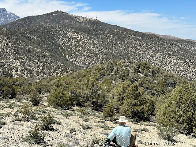

Beautiful place for a Break

Folks, we need to fill up this log! (Bring a notebook with you!)

Passing through snow patches on the Descent