Tuesday, September 27, 2022

Wallace Canyon Split Rock Double Loop - 9/26/22

View of Mt. Clinton from Top Rock near Split Rock

Wallace Canyon and Pahrump, NV Beyond

Peak Season for Autumn Color

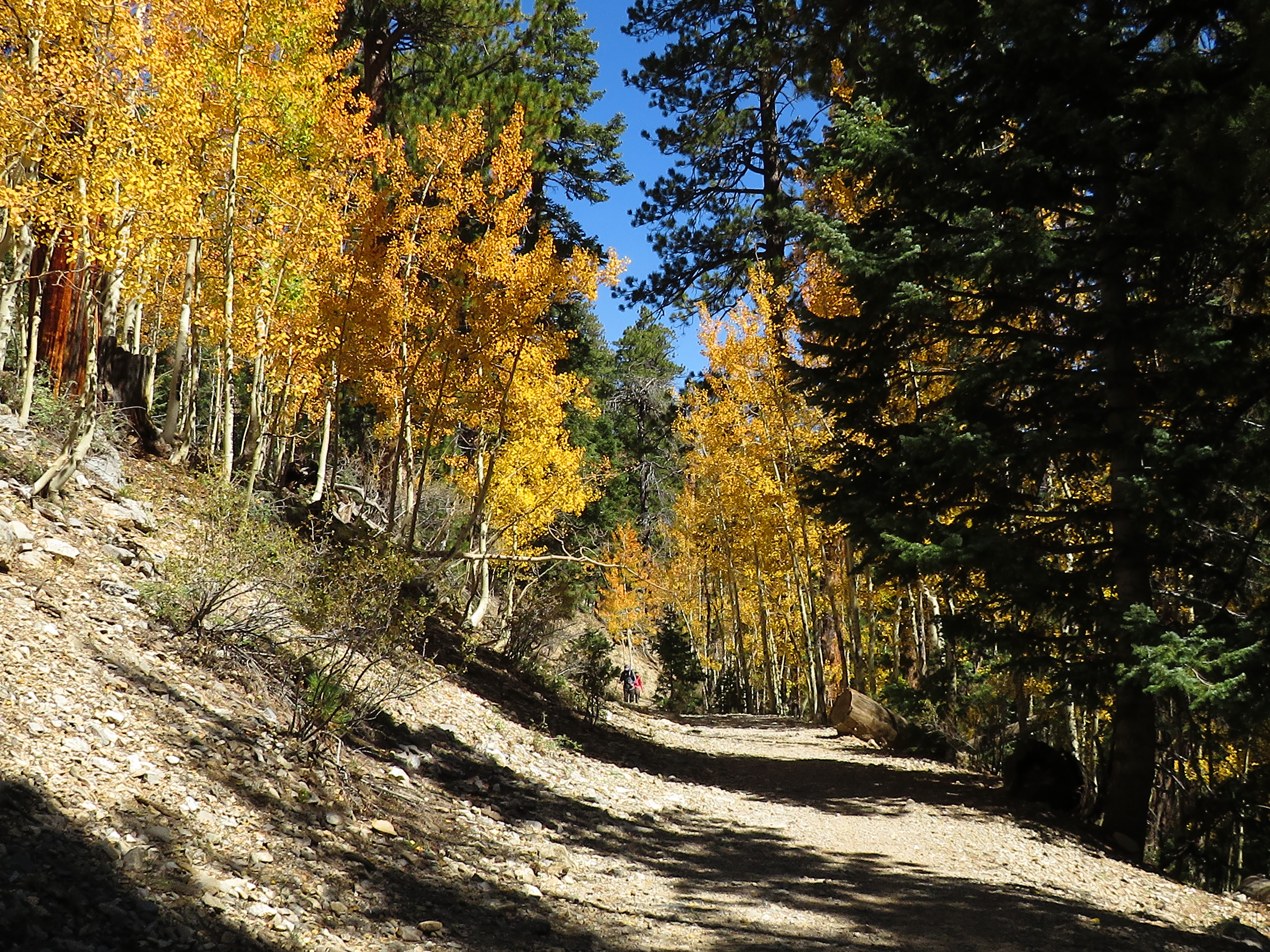
Bob and Mike heading up the Trail
The aspens in Lee Canyon were at peak autumn color as three club members went on a "bushwhacking tour" into Wallace Canyon. Well, not really. But, ... the horse trails leading along the traverse of the southeast ridge of Wallace Canyon were in very bad shape due to deadfall and rain damage. It doesn't appear that hikers have been using this route very often to get to a beautiful view of the Pahrump Valley at a place we call "Split Rock." There are also close views of Mt. Clinton and Mt. Reagan just beyond the rock fin ridge. The Pahrump Overlook Peak and Amargosa Overlook Peak ridge line are on the opposite side of Wallace Canyon and that view dominated most of this entire hike. Regardless of the necessity of bushwhacking at times, we enjoyed trying to follow the off and on trails! Trail cairns would be welcome here, me thinks!

Mummy Mountain from Wallace Trail

Mike and Bob on Wallace Saddle

Looking over the 1978 Plane Crash Memorial where one man Died

Bits and Pieces from the Plane
We began from the Upper Bristlecone Trailhead and hiked up the trail one mile to the No Name Trail junction. After a left turn here, we hiked up another approximately quarter mile to the Wallace Trail junction and forked up to the left. This began a very steep climb with an open view of Mummy Mountain at the gain of the ridge. Next, the trail continued its steep ascent up the ridge mercifully zigzagging at small intervals. Finally, the trail takes a decided turn to the right and traverses over to the Wallace Saddle, a beautiful point to take in views all around. We dove over the other side of the saddle and followed the trail as it turned to the left. This part of the trail is still relatively easy to follow as it leads to the 1978 plane crash site.

One of Several Wash Crossings

Mt. Clinton (Right) and Mt. Reagan (Left)

Kay peers down Wallace Canyon from Top Rock

Mike and Bob on top of Top Rock
Arriving at the site, we observed the memorial that consists of bits and pieces of the airplane. The plane was removed a few years ago but hikers still make the trip to the site to pay respects. For a photo of the plane before it was taken out, go to: http://aroundthebendfriends2.blogspot.com/2013/08/wallace-canyon-plane-crash-loop-8413.html
The trail continues diagonally up in the 10 o'clock direction then begins crossing a series of drainages flowing down from Lee Peak. It is difficult to follow the trail at this point but, suffice it to say, there is more than one trail that leads across the traverse. When we lost one trail, we would continue on a slight diagonal up until we found another trail!

Devil's Thumb from Top Rock

Mike on top of Split Rock

View back at Wallace Saddle from Split Rock

Vague Horse Trails lead the Way
Finally, we found ourselves nearing the Top Rock of the rock fin ridge that contains Split Rock. We headed up to the Top Rock and took a few photos. A cairn is built on the Top Rock that rises ~200' higher in elevation than Wallace Saddle. Afterwards, we dropped down beside the rock fin and ended at the Split Rock where we took a break. Here, you see Pahrump from one side of the split and Wallace Saddle from the other side. Ready to go again, we followed the trail that drops down to regain the traverse. For some reason, the trail has always been a lot easier to follow on the return. Upon crossing one of the washes/ravines, it is good to find the upper trail that bypasses the plane crash site.

Crossing at Large Ravine

Deadwood covers the Trail in Several Places

Arriving above Wallace Saddle

Lee Canyon from Horse Trail to No Name Trail
This upper trail will take you back to the ridge above Wallace Saddle that leads to Lee Peak. The route prevents you from having to climb steeply back up to the saddle on the return. We had to search for the upper trail this time but, it was worth it. We gained the Lee Peak ridge and dropped down to the saddle on a trail then continued straight and around to the right. There is a horse trail that we had used several times that takes you on a traverse over to the No Name Trail. Last time we took this trail was before the exceptional monsoon season this summer. Wowie! The trail has been all but obliterated in a few places. We found ourselves side-hilling and searching. However, we were able to "follow" the trail all the way to the No Name.

Horse Trail to No Name Trail

Descending No Name Trail

Autumn Aspens on Upper Bristlecone Trail

Kay hikes through Aspens

We connected with the No Name Trail a few yards down from the No Name Saddle and turned right. Hiking down the trail, we noticed that this trail was also affected by the monsoon season. But, wasn't it great to get a bunch of rain! A right turn onto the Upper Bristlecone Trail came next and that was when we started seeing other hikers. They were all out enjoying the autumn colors. When we were able to see down onto the ski slopes, the aspens appeared as if someone had dropped splashes of yellow paint here and there from above. Ah, nature! Simply lovely! ... And, a fun day!

Stats: 5.5 miles; 1550' gain; 4.5 hours

Aspens on the Upper Bristlecone Trail

Still talking 5.5 miles Later

Nearing Upper Bristlecone Trailhead


No comments: