Wednesday, March 30, 2022

Black Mesa Loop - 3/29/22

Lake Mead (Boulder Beach) from Black Mesa

Fortification Hill (L), Lake Mead (C), Black Mesa Ascent Ridge (R) from Sheep Trail Ridge

Rock Island in Boxcar Cove Wash

Tortoise Fence
The Tenacious Trio took advantage of the cool day to return to Northshore Road at Lake Mead NRA. We parked at the large trailhead parking on the right off of Callville Bay Road. To our right, Black Mesa rose gallantly. This long low hill has a flattish top and is composed of basaltic andesite that was erupted from fissures and cinder cones between 10.6 and 8.5 million years ago. The basaltic andesite overlies weaker rocks (siltstone). The weak rocks on the flanks of the mesa erode readily, but the resistant caprock serves a a barrier that slows the erosional process. The softer, underlying rocks are light-colored, but the entire mesa - sides and all - appear dark because the slopes are mantled by a layer of dark rock talus cascading down from the weathering cap rock.  Geologic Tours in the Las Vegas Area (Expanded Edition with GPS Coordinates), Nevada Bureau of Mines and Geology Special Publication 16, University of Nevada, Reno, Mackay School of Earth Sciences, 2008, Bear Printing, Sparks, NV; pages 64, 66.

Kissing Callville Bay Road in first Mile

Descending into Wash

Passing Colorful Hills next to Wash

Hiking the Sheep Trail Ridge
To reach the ascent ridge on the southeast corner of the mesa from our position on the northeast corner, we chose a series of three washes and a couple of ridges. These made a route that led close to Callville Bay Road and up to a ridge and down into the next wash, thereby avoiding the jumble of hills and steep washes laying closer to the base of the mesa. When possible, we found sheep trails. These trail are easier to see on Google Earth than they were to see at ground level but they are very helpful. Finally, in the last wash before our ascent, we found two almost complete skeletons of female bighorns that were recently preyed upon by a mountain lion. Scat was located next to the skull of one. Soon, we were climbing another trail up a long ridge to gain the first level of Black Mesa.

Large Cairn on Sheep Trail Ridge

Blooming Brittlebushes in Wash at base of Black Mesa

Two Bighorns' Remains found near each Other

Approaching Level I of Black Mesa
Much to our surprise, there were three or four levels of ascent (depending on how you counted them). Each level was less foreboding than the one previous. What remained the same was the fantastic view of Lake Mead during the complete climb. Our view directed toward Fortification Hill, Boulder Beach, the River Mountains and the entrance into the Hoover Dam inlet. This last feature is marked by the "bathtub ring" on the rock embankments seen in the photos. The last level of the climb brought us all the way to the mesa's peak cairn. The cairn is large in a spread out kind of way but we could not find a log register within it anywhere. We took our break and found the triumvirate of benchmarks nearby.

Beautiful View of Lake Mead - River Mountains (R)

Short Break before tackling Level I of Black Mesa

Muddy Mountains from Level I Climb

Hiking toward Level II
Afterward, we continued our hike straight toward the cliffs on the southwest corner of the mesa. It was tricky finding the correct descent route. We saw a cairn and decided that it must be marking a popular route. We found a place that offered a very steep but doable down climb. We were still not sure that we were in the right place but it worked ... slowly. Once we were down, there was a ridge to the north of us that appeared to be a better route. Anywho, we continued our adventure toward the north on a diagonal using sheep trails to reach the wide Boxcar Cove wash below. Dropping into the big wash just before the Rock Island landmark, we breathed a sigh of relief! Next, we were on a search for the old junk car nearby.

Reaching the Peak Cairn - Callville Bay Marina in Background

View of Lake Mead from Peak Cairn


All Three Benchmarks were Located
1934 Black Mesa Benchmark
There was a small cairn on the west embankment rock and I knew were closing in on the left jog to the car so I had faith that this cairn was a true indication where we should turn. We turned and hiked straight to the old car; a nondescript rusted truck whose bed was once lined with some kind of fake fur. Hmm. Interesting. After a few photos, we beelined toward the northeast to hit the wide wash again. The wash curved around the north end of Black Mesa and led us all the way back to below the trailhead. During this time, we made our group photo in the wash since we had forgotten to make this fun feature when we were at the peak. Next, we found a small trail leading up the spine of a small fork ridge and hiked right out of the wash and over to our car.

The Challenging Descent

View up to Mesa from Descent

Crossing Ridges to get down to Boxcar Cove Wash - Lava Butte in Distance 

This was our first time to hike Black Mesa. We used previous routes and tracks from Chuck Hawkins and Brian Dodd. My first impressions are that the views were gorgeous and our ascent route (used by Brian as a descent route) is the best. The old car is interesting but we had no idea what kind it was. The peak cairn needs a register log book. And, finally, bighorn sheep are not safe from mountain lions here! But, all in all, it was definitely a great adventure!

Stats: 5.5 miles; 1200' gain; 4.5 hours


A Visit to the Old Car

Completing the Loop around the North End of the Mesa

The Tenacious Trio - Happy with their Adventure


Monday, March 28, 2022

Gass Peak - 3/26/22

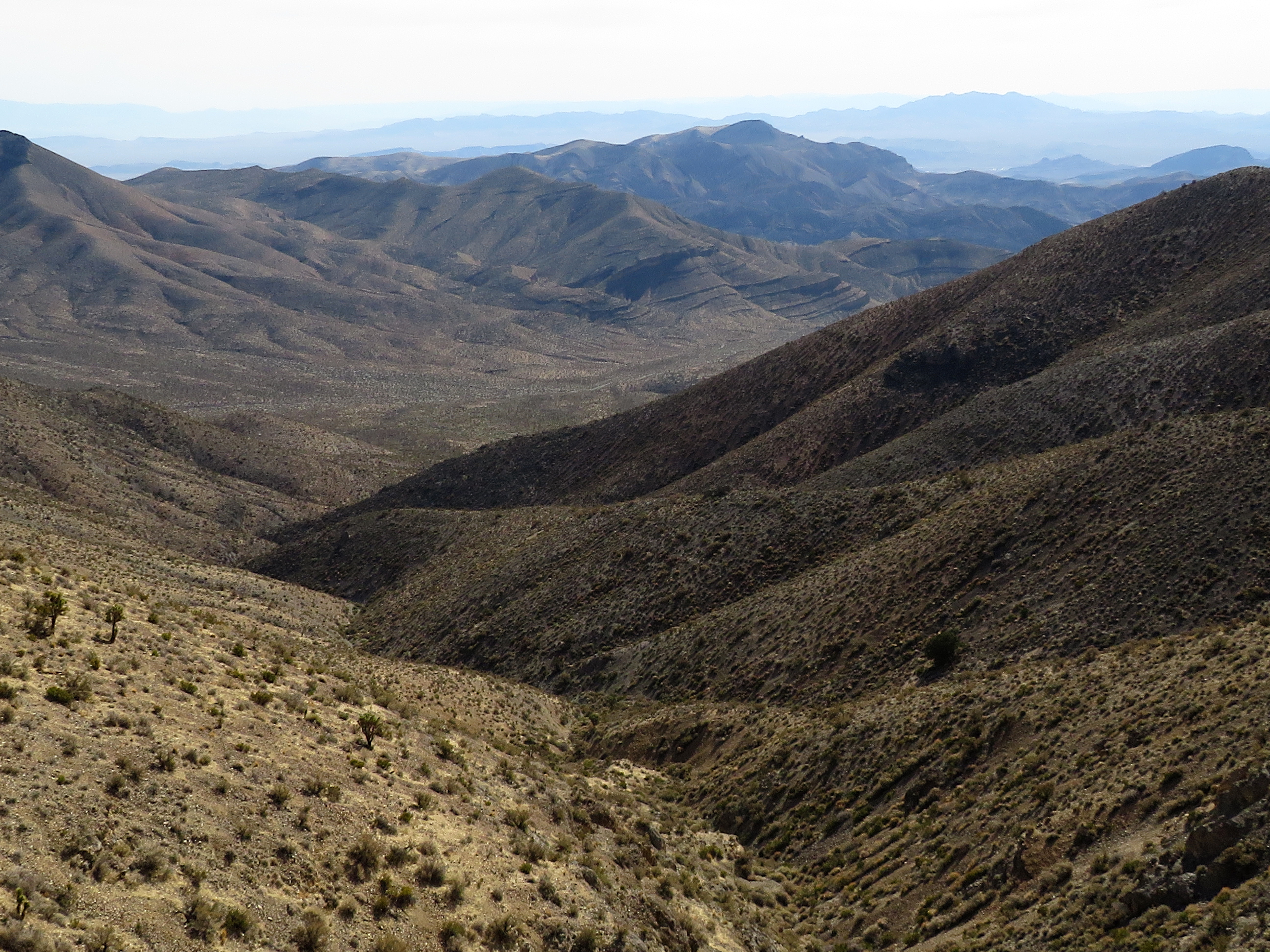
Gass Peak from Approach Trail

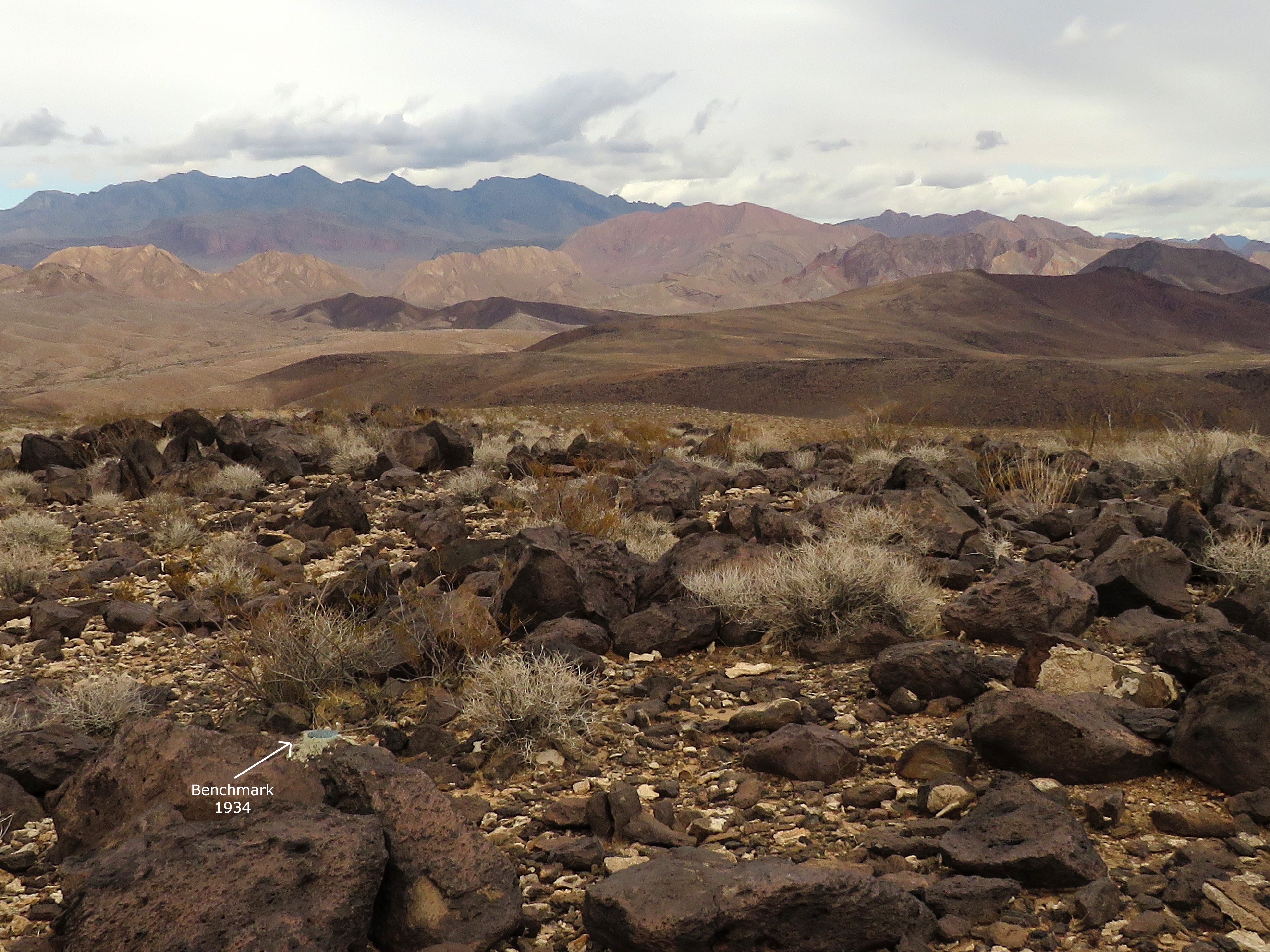
Solar Array and Other Instruments on Gass Peak

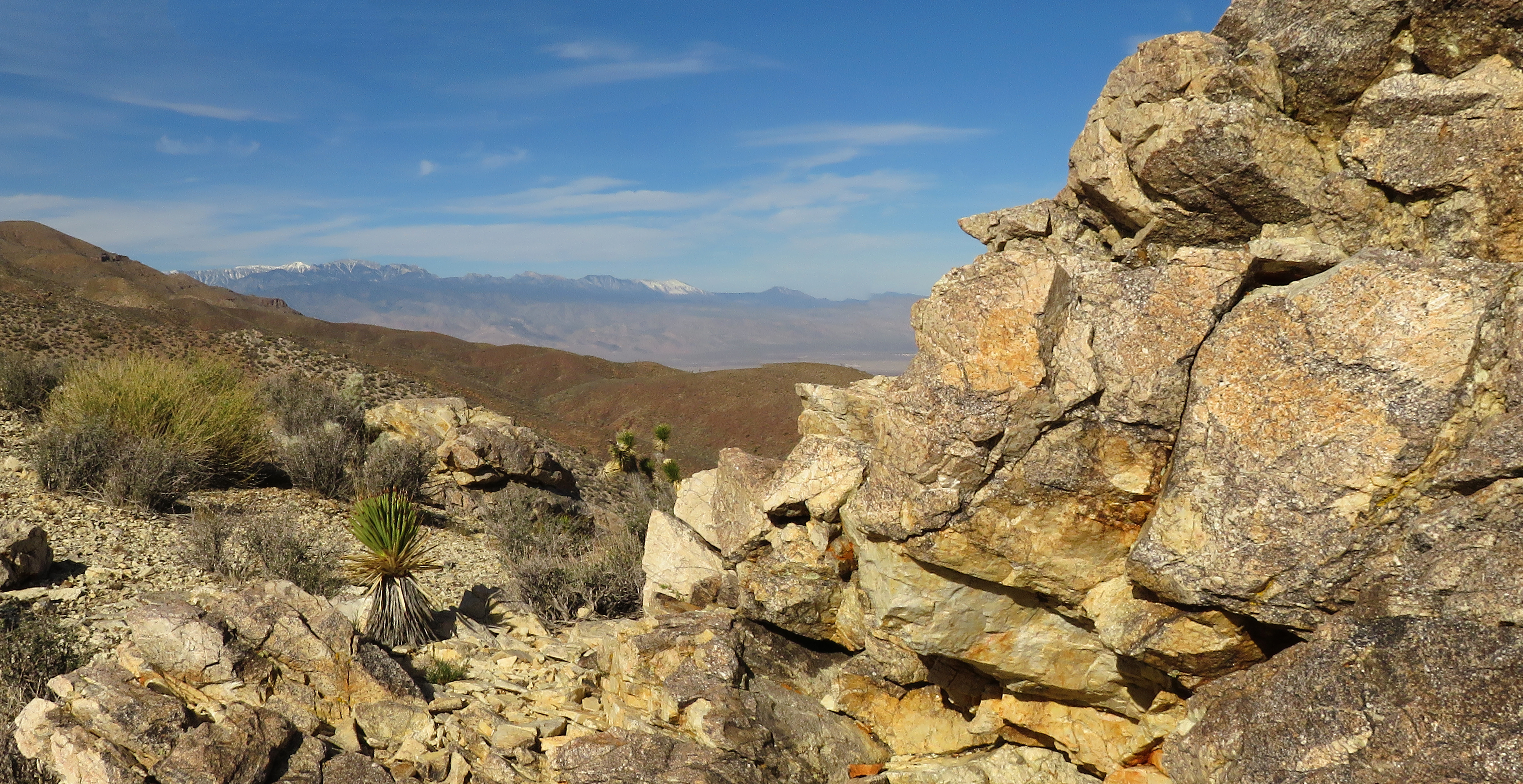
View West from Trail

Starting out at Trailhead
The weather is getting warmer and the window for climbing Gass Peak is always narrow. It had been 4.5 years since any of us had stood on the instrument-filled peak just north of Las Vegas in the Las Vegas Range located inside the Desert National Wildlife Refuge. During that time, we were going through the pandemic and had little access to sufficient vehicles to reach the trailhead. Or, we just missed the weather windows. As it turns out, also during that time, the refuge has improved the Gass Peak Road! Yes. Often considered one of the worst roads in the refuge, the road is now navigable by a simple HCV. There are a few low embedded rocks to contend with but the washes are much improved. Just, be advised to go slow!

Trailhead Sign - Silver Cholla - Anderson's Buttercup

Gass Peak from the Trailhead

Starting the Hike

Climbing the Trailing Ridge
With two vehicles (an XTerra and a Jeep), seven hikers arrived at the trailhead after an hour's drive through the beautiful desert with Fossil Ridge to our left and the Las Vegas Range to our right. There is a new sign at the trailhead and we found the trail to be in excellent condition with maintenance having been done. Kudos! There is even one small trail direction sign erected where the service road junctions with the single track trail. There were two other vehicles at the trailhead. We met one couple near the summit and the other couple with their energetic puppy started up just before us. It is quite a moderately strenuous to strenuous climb so we passed the couple with the dog and only passed them again as we were coming down off of the peak later.

Lower part of the Trailing Ridge

Starting the Main Ridge

Getting into more Steep Stuff

Pause on a Saddle
There is a long approach on the service road until the trail veers to the left. The trail follows a long trailing ridge up to the main ridge of the range. The trail is accommodating to tired legs in that it climbs up small peak after small peak with relaxing flats or saddles in between. The trail is virtually class 2 all the way except for a simple rock step-up or two along the way. About 2/3 of the way up from the trailhead to the main ridge, the climb becomes decidedly steeper. A few minutes later, it felt great to reach the main ridge and see the other side of the range where Las Vegas lies ... even if the day was another one of haziness over the city. The climb didn't end here, though! 

Eastern View from Main Ridge

Small Switchback Section

Another Saddle

Traverse on North Side
The main ridge hike began with a small rise up and over. Next, it was down to a saddle and around the next rise on the left side. Nice view to the east here. Then, the trail climbs up some small steep switchbacks and on up another steep section. Finally, we began a traverse on the north side of the mountain. Terrain is very steep on either side of the trail. We passed through three or four rocky saddles before nearing the peak. Watch carefully and you won't miss where the trail goes along or beside the rocks. Arriving at the last rocky saddle, you can see the cell tower rising at the peak ahead. Las Vegas spreads out to the south below and the trail climbs up along the base of a cliff band on the north.

The Final Climb

Eastern View from Final Climb (Last Saddle in View)

Almost There!

Las Vegas - Southern View
Elated, we climbed the last hill to the solar array where the trail turns up to the right and gains the peak on the east end. The peak, itself, is narrow and around 30' to 40' in length. On the east end of the peak is a lightening rod / flag pole whose "roots" have been reinforced into the rock with concrete. The Nevada flag on top is in shreds ... almost not there, in fact! The wind sock that used to slowly disintegrate on the west end of the peak has been removed. There is a small helicopter landing dirt pad below the west end so that scientists can come up to the peak to read the instruments every so often. But, one of the biggest changes that affects us hikers is that there is no longer a log book register. No container for it either. What's up with that?

Western View from Peak

Arriving on the Narrow Peak

Clowning Around

Survey Marker on Peak
As we descended from the peak, we considered the slightly different forms of vegetation. It isn't a huge difference but we saw a lot more silver cholla and Kingcup cacti. We found blooming Anderson's Buttercup next to the trail. The Joshua Trees and the Mojave Yuccas were blooming as they are at Red Rock. And as far as fauna is concerned, we saw bighorn prints even though the critters are quite elusive in the vast refuge. Lizards were everywhere and we saw our first horned lizard of the season. These lizards feed largely on ants so I guess the ants are out and about as well! We also spotted a couple of different butterfly species. One seemed special being white with orange and black markings. West Coast Sara's Orangetip?

Southeastern View

Seven near Heaven!

Starting Descent

Following Ralyn along the Main Ridge
With a high temperature of 72 degrees, it could have been a hot hike but there was a delicious breeze coming in from the south that kept us cool. It was a great day for the hike and we were all very happy to have visited the peak again. Again, thanks to all those who helped to revive this magnificent trail hike. And, thanks, also, to those responsible for improving the road. We really appreciate it! ... And, nice sign!

Stats: 6.4 miles; 2100' gain; 4 hours

Down the Small Switchbacks

Trailhead in Sight

Still Smiling!