|
| Above the Tree Line with Charleston Peak in the Shadow of the Clouds |
 |
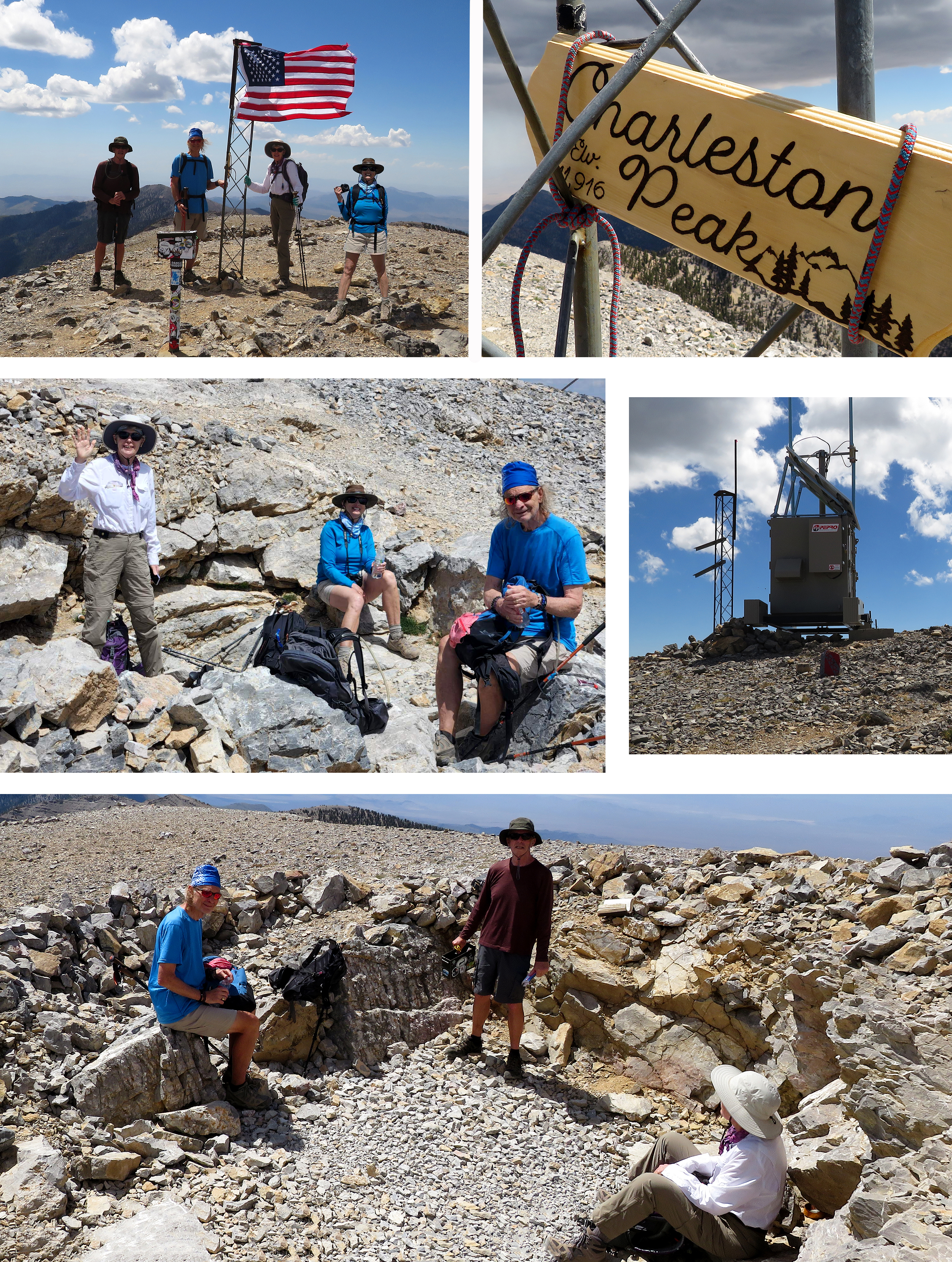
| Charleston Peak Summit |
 |
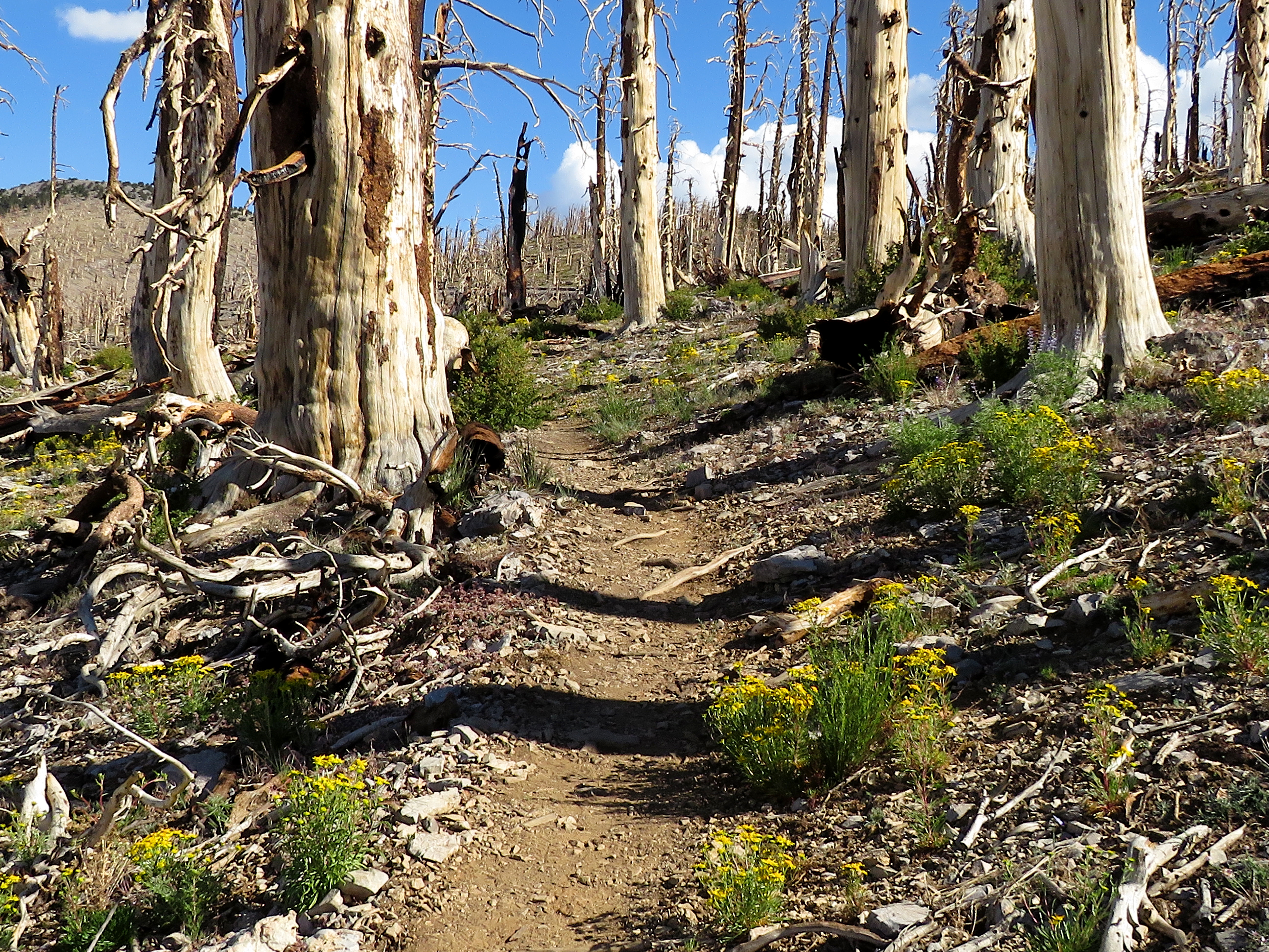
| North Loop Trail among the Cliffs of Charleston Peak |
 |
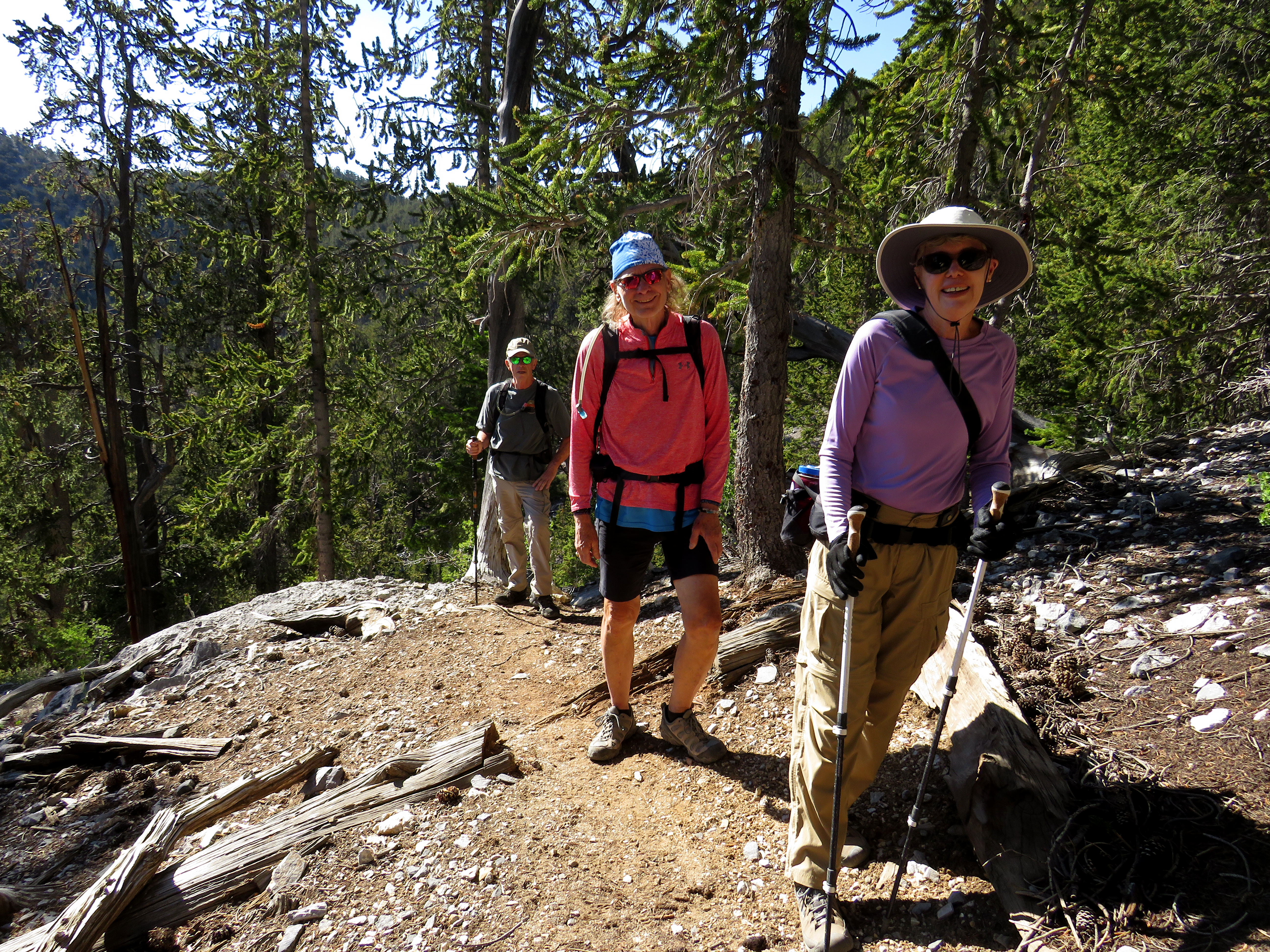
| Starting up the South Loop Trail |
At 5:30am, four happy hikers started their climb up to Charleston Peak 2022! It would be the second time for Ralyn, the fifth for Charlie, the seventh for moi, and probably the umpteenth time for Ralph. The planned route was up the South Loop and down the North Loop, a new one for Ralyn. It is my preferred route but it requires two cars; one at Trail Canyon Trailhead and one at the South Loop Trailhead. That is, unless you want to close the loop by hiking between trailheads at the end. I did that once ... once. This time, we had two cars at each trailhead and, at about 5:15am, we were preparing for a climb up the South Loop. Yep, needed more coffee! I planned to write an entry for the day, however, I kept the photos at a minimum under the 10,000' elevation.
Stats: 16.5 miles; 4800' gain; 10 hours
 |
| Arriving at the Aspen Forest |

America Grey Flycatchers almost ready to Fledge
 |
| Down through the Aspens |
 |
| Nearing the Trail Canyon Saddle |